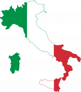
Italy is a country in Southern Europe. The country is located on a peninsula in the Mediterranean Sea.
Italy borders six countries: France, Austria, Switzerland, Slovenia, Vatican City and San Marino.
Italy is easy to recognize on any world map, as the country is shaped like a high-heeled boot.
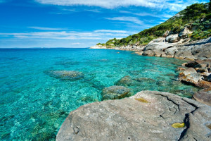
Italy has more than 7,600 km/ 4,722 miles of coastline as the peninsula is located for a large part in the Mediterranean sea.
Italy is popular for its many picturesque ports and sandy beaches.
Italy has two bigger islands Sicily and Sardegna and many smaller islands such as Capri, Ischia and Elba.
The Alps and the Apennines are the two main mountain ranges in Italy.
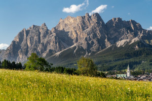
In the North, the mountain range of the Alps separates Italy from the other European countries France, Switzerland, Austria and Slovenia.
The highest mountains of Italy can be found in the Alps. The Dolomites are a part of the Alps mountain range in Italy’s north and many of the peaks are above 3,000 m/ 9,843 ft high!
There are many lakes in northern Italy, in the centre of the country, the landscape flattens, this flat area is called the Po Valley.
The Apennines mountain range run all the way down the boot and separate the eastern and the western regions of Italy.
And did you know that in Italy, there are still active volcanos?
In the South of Italy you will find Italy’s three active volcanoes: Vesuvius near Naples, Etna on Sicily and Stromboli off the Coast of Italy.


